Port of Agadir: Key Maritime Hub for the Maghreb Economy
Port of Agadir: A Key Maritime Hub for the Maghreb Economy
The Port of Agadir, located on the Atlantic coast at 30°25′ N-9°38′ W, is situated 35 km south of Cape Ghir. The port is connected to Essaouira via the main road No. 8 and to Marrakech via the main road No. 40. Two main arteries serve the two entrances of the port.
Given its hinterland, the Port of Agadir plays a significant role in the development of the regional economy and contributes to the national economy; it serves as the natural outlet for the agri-food activities of the Souss-Massa plain and its marine resources.
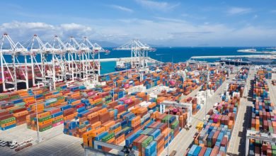
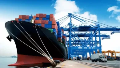
Originally dedicated to fishing, the Port of Agadir has gradually evolved into a port complex that includes a fishing port, a commercial port, and a marina.
Characteristics
Location: 30°25’N-9°48’W
Location: 30°25’N-9°48’W
Purpose: Trade, fishing, and recreation.
Road Access
- Marrakech-Agadir highway;
- National Route 1 from Essaouira;
- Main Route 40 from Marrakech.
History
Initially a Portuguese pier, the port became a haven for the local fishing fleet in 1917; since then, it has been in continuous expansion and has developed into a port complex with a diverse portfolio.

The Port of Agadir, located on the Atlantic coast at 30°25′ N-9°38′ W, is situated 35 km south of Cape Ghir. The port is connected to Essaouira via the main road No. 8 and to Marrakech via the main road No. 40. Two main arteries serve the two entrances of the port.
Given its hinterland, the Port of Agadir plays a significant role in the development of the regional economy and contributes to the national economy; it serves as the natural outlet for the agri-food activities of the Souss-Massa plain and its marine resources.
Maritime in the Maghreb
Originally dedicated to fishing, the Port of Agadir has gradually evolved into a port complex that includes a fishing port, a commercial port, and a marina.
Characteristics
Given its hinterland, the…
Location: 30°25’N-9°48’W
Location: 30°25’N-9°48’W
The Port of Agadir…
Purpose: Trade, fishing, and recreation.
Road Access
- Marrakech-Agadir highway;
- National Route 1 from Essaouira;
- Main Route 40 from Marrakech.
History
Initially a Portuguese pier, the port became a haven for the local fishing fleet in 1917; since then, it has been in continuous expansion and has developed into a port complex with a diverse portfolio.