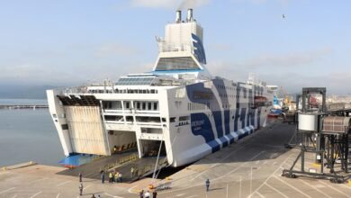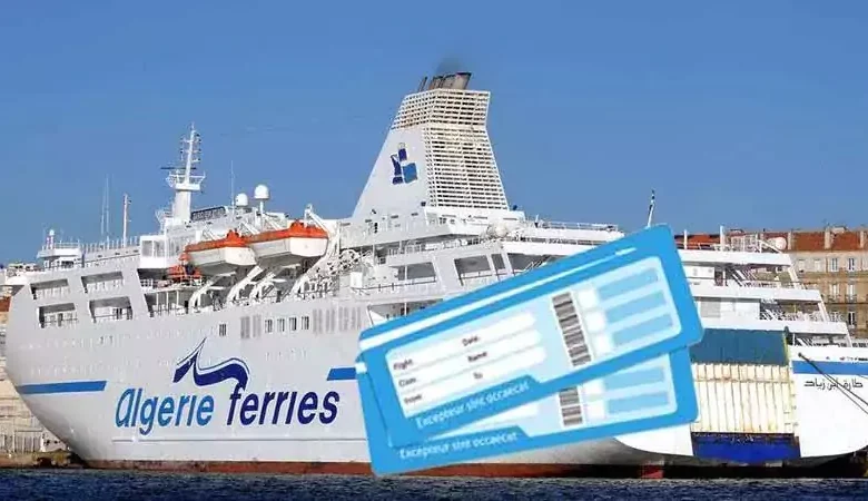
Algérie Ferries : Billets à moitié prix pour Ramadan 2024
Après Air Algérie qui a, récemment, annoncé le lancement de ses promotions spéciales pour le mois sacré, c’est au tour de la compagnie maritime nationale de faire de même et d’annoncer des billets de voyage depuis l’Espagne, l’Italie et la France à demi-prix.
Rappelons, le président de la République Abdelmadjid Tebboune avait ordonné la réduction des prix des billets de voyage, pour permettre aux membres de la diaspora de passer le mois sacré en Algérie.
Algérie ferries : des promotions allant jusqu’à 50 % pour le Ramadan 2024
Cette bonne nouvelle a été annoncée par le directeur général de l’ENMTV, en l’occurrence Abdelhakim Bouzaher, lors de son intervention devant la Commission des affaires extérieures, de la coopération et de la communauté de l’APN, en ce lundi 12 février 2024.
En effet, le premier responsable de la compagnie maritime nationale a fait savoir qu’Algérie Ferries prépare une nouvelle offre promotionnelle pouvant atteindre les 50% de réduction sur les différentes destinations desservies par la compagnie.
Par ailleurs, Abdelhakim Bouzaher a précisé que cette nouvelle offre, dont les détails seront dévoilés très prochainement, durera 40 jours et sera clôturée 10 jours après la fête de l’Aïd EL Fitr. De manière à permettre aux membres de la diaspora de passer le mois sacré en Algérie et de repartir vers leurs pays de résidence à moindre coût.
Les Algériens seront certainement nombreux à profiter de cette annonce pour pouvoir rejoindre le territoire national pendant le mois sacré. Pour mémoire, les voyageurs algériens sont toujours dans l’attente de l’ouverture des ventes, pour l’été 2024, chez Algérie Ferries, qui n’a encore pas dévoilé son programme de traversées programmées pour la nouvelle saison estivale.
Après Air Algérie qui a, récemment, annoncé le lancement de ses promotions spéciales pour le mois sacré, c’est au tour de la compagnie maritime nationale de faire de même et d’annoncer des billets de voyage depuis l’Espagne, l’Italie et la France à demi-prix.
Rappelons, le président de la République Abdelmadjid Tebboune avait ordonné la réduction des prix des billets de voyage, pour permettre aux membres de la diaspora de passer le mois sacré en Algérie.
Actualités maritimes au Maghreb
Algérie ferries : des promotions allant jusqu’à 50 % pour le Ramadan 2024
Cette bonne nouvelle a été annoncée par le directeur général de l’ENMTV, en l’occurrence Abdelhakim Bouzaher, lors de son intervention devant la Commission des affaires extérieures, de la coopération et de la communauté de l’APN, en ce lundi 12 février 2024.
Cette bonne nouvelle a été annoncée…
En effet, le premier responsable de la compagnie maritime nationale a fait savoir qu’Algérie Ferries prépare une nouvelle offre promotionnelle pouvant atteindre les 50% de réduction sur les différentes destinations desservies par la compagnie.
Par ailleurs, Abdelhakim Bouzaher a précisé que cette nouvelle offre, dont les détails seront dévoilés très prochainement, durera 40 jours et sera clôturée 10 jours après la fête de l’Aïd EL Fitr. De manière à permettre aux membres de la diaspora de passer le mois sacré en Algérie et de repartir vers leurs pays de résidence à moindre coût.
Après Air Algérie qui a, récemment, annoncé…
Les Algériens seront certainement nombreux à profiter de cette annonce pour pouvoir rejoindre le territoire national pendant le mois sacré. Pour mémoire, les voyageurs algériens sont toujours dans l’attente de l’ouverture des ventes, pour l’été 2024, chez Algérie Ferries, qui n’a encore pas dévoilé son programme de traversées programmées pour la nouvelle saison estivale.