Marocco rieletto nel Consiglio dell’AISM: un importante vantaggio marittimo
Marocco rieletto nel Consiglio dell’AISM: un importante asset marittimo
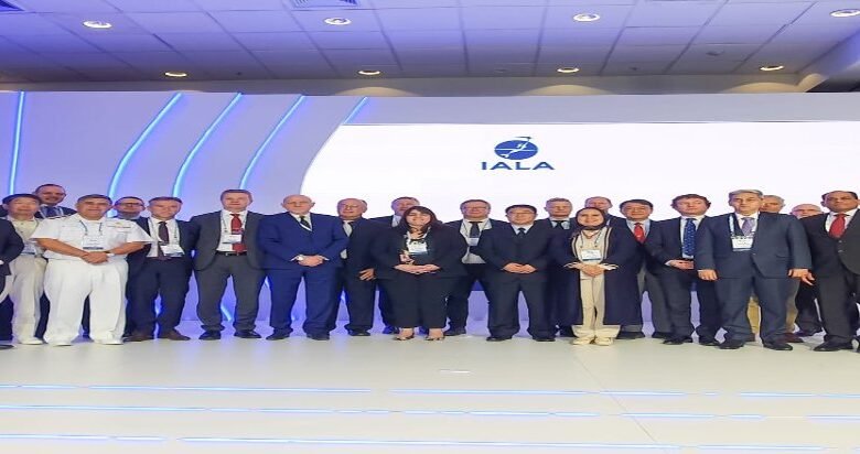
04.06.2023 | Rabat, 3 giugno 2023 – Il Marocco è stato rieletto membro del consiglio dell’Associazione Internazionale di Segnalazione Marittima (AISM) per il periodo 2023-2027, in occasione della 14ª Assemblea Generale dell’AISM e della sua 20ª conferenza, tenutasi a Rio de Janeiro, in Brasile.
Il Marocco, in qualità di membro nazionale dell’AISM, ha presentato la propria candidatura insieme ad altri 26 Stati membri per ottenere un seggio nel Consiglio dell’AISM. Una campagna di promozione è stata condotta congiuntamente dal Ministero delle Infrastrutture e dell’Acqua e dal Ministero degli Affari Esteri, della Cooperazione Africana e dei Marocchini Residenti all’Estero. Una forte delegazione marocchina ha partecipato ai lavori della conferenza dell’AISM e della sua Assemblea Generale.
In questo modo, il Marocco rappresenta l’unico paese arabo e africano all’interno del Consiglio dell’AISM, affiancato da 23 Stati membri. Questa rielezione del Regno riflette la fiducia che gode nella comunità marittima internazionale e costituisce un riconoscimento internazionale dei progressi compiuti dal Marocco nel settore portuale e marittimo, sotto la guida illuminata di Sua Maestà il Re Mohammed VI, che Dio lo assista.
La Rielezione Del Marocco, Insieme All’AISM E Ai Suoi Stati Membri
La rielezione del Marocco, insieme all’AISM e ai suoi Stati membri nazionali, gli permetterà di contribuire al rafforzamento delle sue missioni e di confermare la sua posizione all’interno della comunità marittima internazionale nei settori legati alla sicurezza della navigazione marittima e alla protezione dell’ambiente marino.
Il Regno del Marocco continuerà a sostenere le azioni intraprese dall’AISM, posizionando in particolare la sicurezza della navigazione marittima in Africa tra le priorità strategiche di questa associazione e traducendo il suo motto « viaggi sicuri, un pianeta sostenibile ».
Fonte: www.equipement.gov.ma
04.06.2023 | Rabat, 3 giugno 2023 – Il Marocco è stato rieletto membro del consiglio dell’Associazione Internazionale di Segnalazione Marittima (AISM) per il periodo 2023-2027, in occasione della 14ª Assemblea Generale dell’AISM e della sua 20ª conferenza, tenutasi a Rio de Janeiro, in Brasile.
Il Marocco, in qualità di membro nazionale dell’AISM, ha presentato la propria candidatura insieme ad altri 26 Stati membri per ottenere un seggio nel Consiglio dell’AISM. Una campagna di promozione è stata condotta congiuntamente dal Ministero delle Infrastrutture e dell’Acqua e dal Ministero degli Affari Esteri, della Cooperazione Africana e dei Marocchini Residenti all’Estero. Una forte delegazione marocchina ha partecipato ai lavori della conferenza dell’AISM e della sua Assemblea Generale.
Marittimo nel Maghreb
In questo modo, il Marocco rappresenta l’unico paese arabo e africano all’interno del Consiglio dell’AISM, affiancato da 23 Stati membri. Questa rielezione del Regno riflette la fiducia che gode nella comunità marittima internazionale e costituisce un riconoscimento internazionale dei progressi compiuti dal Marocco nel settore portuale e marittimo, sotto la guida illuminata di Sua Maestà il Re Mohammed VI, che Dio lo assista.
La Rielezione Del Marocco, Insieme All’AISM E Ai Suoi Stati Membri
In questo modo, il Marocco rappresenta l’unico…
La rielezione del Marocco, insieme all’AISM e ai suoi Stati membri nazionali, gli permetterà di contribuire al rafforzamento delle sue missioni e di confermare la sua posizione all’interno della comunità marittima internazionale nei settori legati alla sicurezza della navigazione marittima e alla protezione dell’ambiente marino.
Il Regno del Marocco continuerà a sostenere le azioni intraprese dall’AISM, posizionando in particolare la sicurezza della navigazione marittima in Africa tra le priorità strategiche di questa associazione e traducendo il suo motto « viaggi sicuri, un pianeta sostenibile ».
04.06.2023 | Rabat, 3 giugno 2023 – Il…
Fonte: www.equipement.gov.ma